Levis Mound Trails
Located north of Black River Falls, in Southwestern Wisconsin, this gem has about 40 miles of trails. You can hike/trail run, snowshoe or bike the single tracks, or ski the wider trails! You do need a permit to ski or bike, but not to hike or run, and there is a self-registration station at the parking lot. Make sure to bring cash if necessary!
The trails here are great! I usually run on the single track trails (without music to be sure to hear any oncoming bike), but you can also hike/run on the ski trails as long as there is no snow.
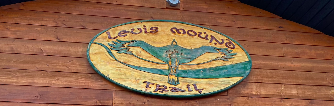
Sign on the trail center at the parking lot off of Fisher Avenue.
With many possible trails to combine, this place feels like a “build you own adventure” kind of trail run, which for some people is fun, and for others can be frustrating. All the trails are well marked (although the markers could be a little bigger) and there are maps with the whole trail system at the bigger intersections. Don’t hesitate to grab a trail map at the trail center or take a photo of the trail system before heading out of the parking lot.
For a full map of the trails, click here.
Here are some of my favorite trails at Levis Mound. I present them as two loops you can do from the parking lot on Fisher Avenue. The first is longer, but the second might be a little more difficult, even if shorter, because of the steeper trails involved to get up to the scenic overlooks.
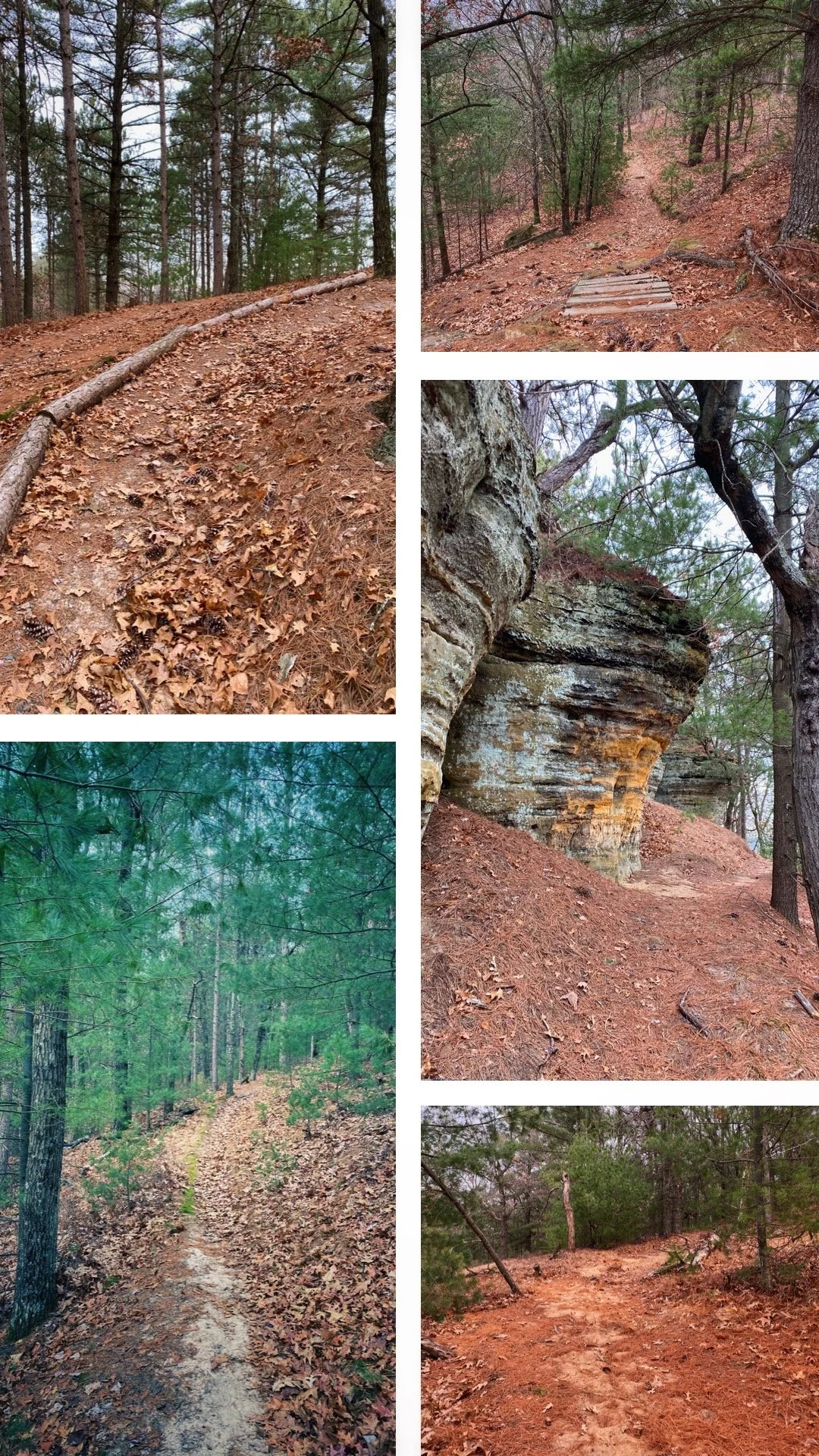
Upper Hermosa/Hermosa/Lower Hermosa Trails
(Combining the six trails above is about six and a half miles, then you can use some of the ski trails to get back to the parking lot in less than a mile or use the Lower Glen trail again which about a mile. To see a four and a half minute long video of this loop, click here!)
Porky Point Trail (one-way)
South Point Trail (out-and-back)
(Combining the five trails above, using Snodgrass briefly to get back to the trail center is a 3.7-mile loop: to see a five-minute video of this loop, click HERE.)
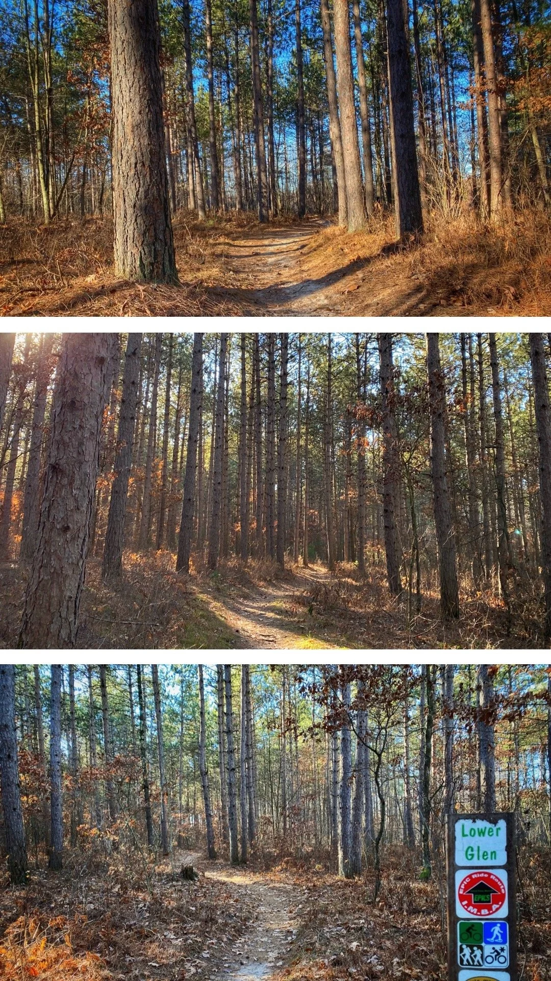
Lower Glen/Swamp Cut Trails
The Lower Glen starts right off the trail center on the parking lot on Fisher Avenue and is a great way to warm up. Mostly flat with a mix of dirt and sand sections, they gently winds through the trees.
They cross several other trails but are well marked, the Swamp Cut Trail is right across from the Lower Glen trail when it’s time to move from one to the other.
The Swamp Cut Trail brings you to an intersection with several options, as well as a picnic table/bench and those two trails together are almost a mile and a half long.
From there, I suggest continuing on the Yellow Jacket Trail, which at this particular intersection, is marked yellow.
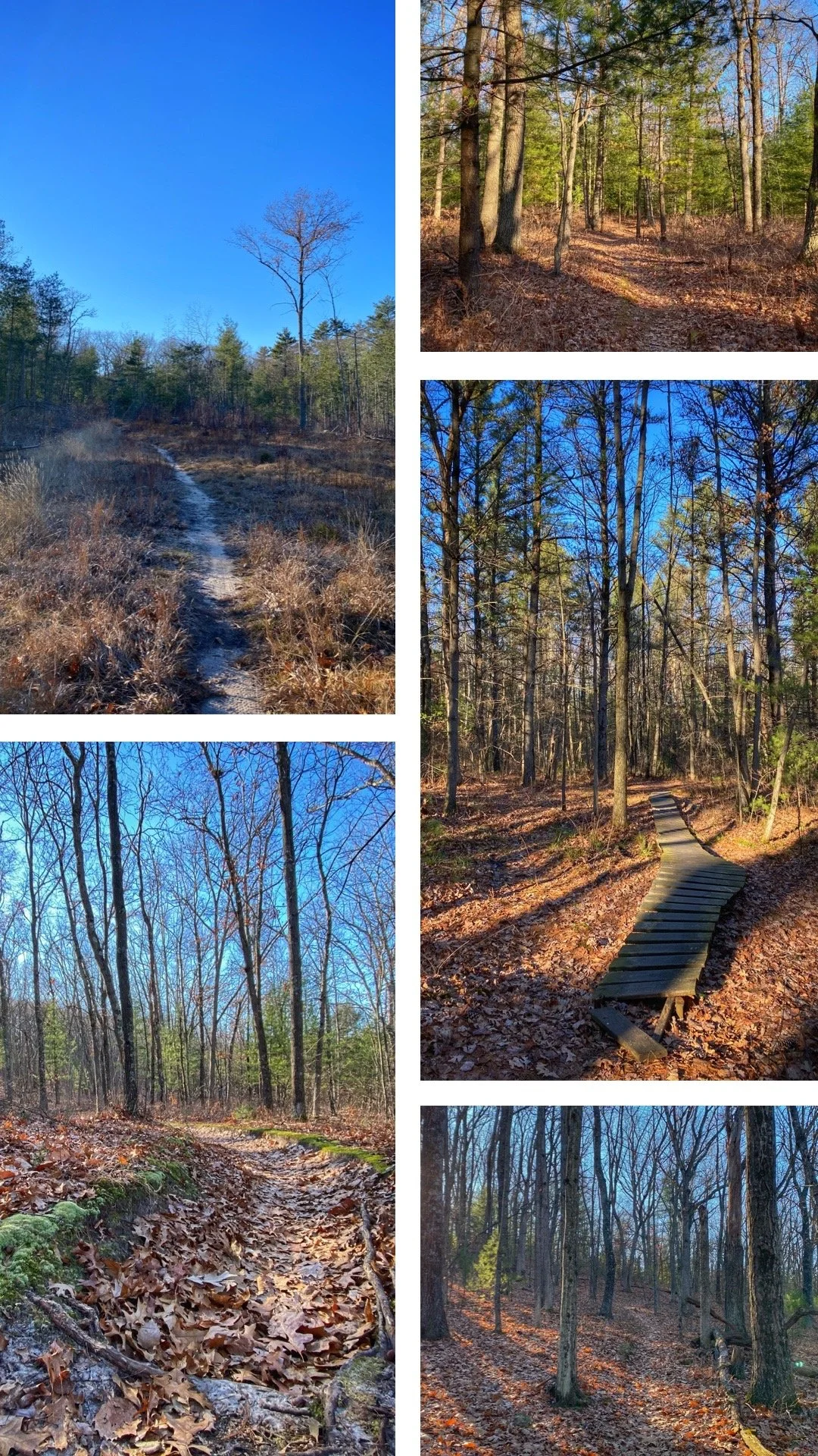
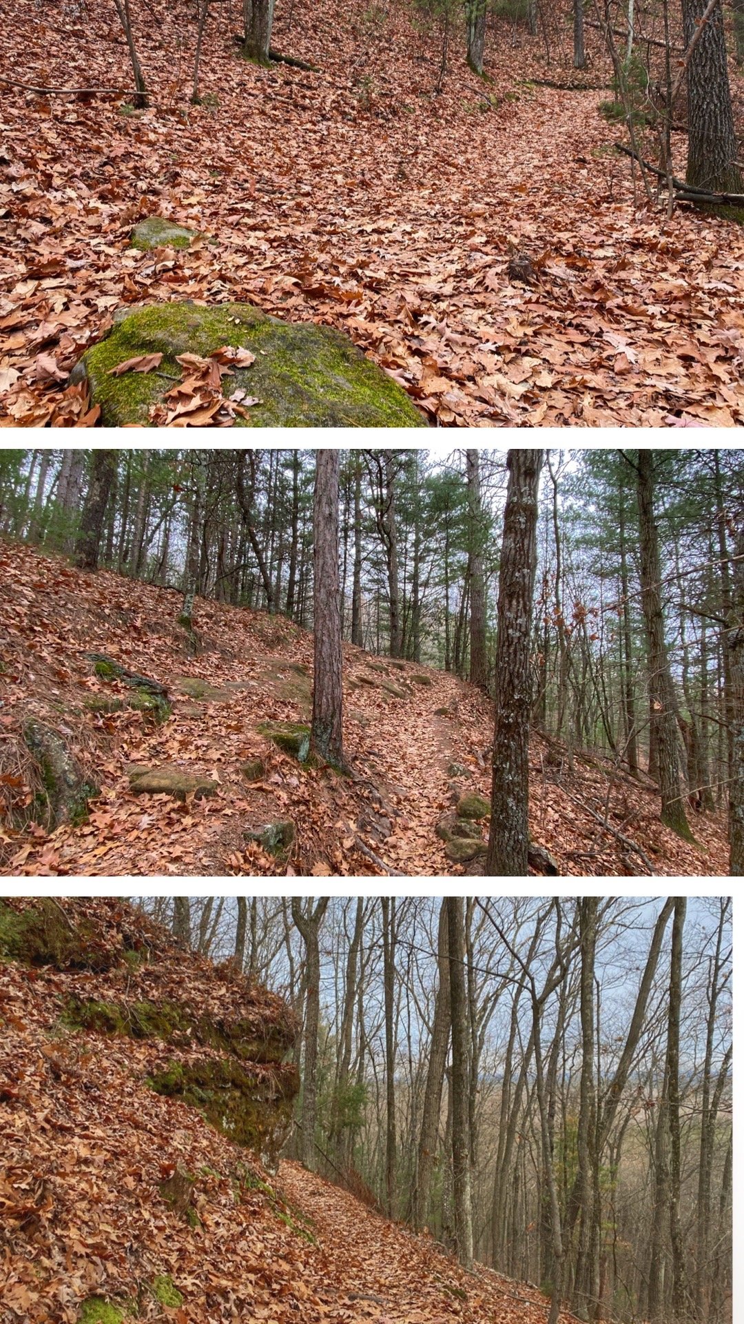
Yellow Jacket Trail
The Yellow Jacket Trail peacefully winds up and down, giving you some hills but nothing very steep. It goes through the forest but also has a couple of more open sections.
On this trail you start finding more features for bikes, such as bridges and ramps, which can be fun for runners too!
Again, this single track is a mix of dirt trail and sand, and the dirt sections have many roots and some rocks crossing the path.
This trail is just over two miles long, doesn’t cross any other trails for a long time, so you don’t have a lot of decisions to make.

Rock formation on the Upper Hermosa Trail
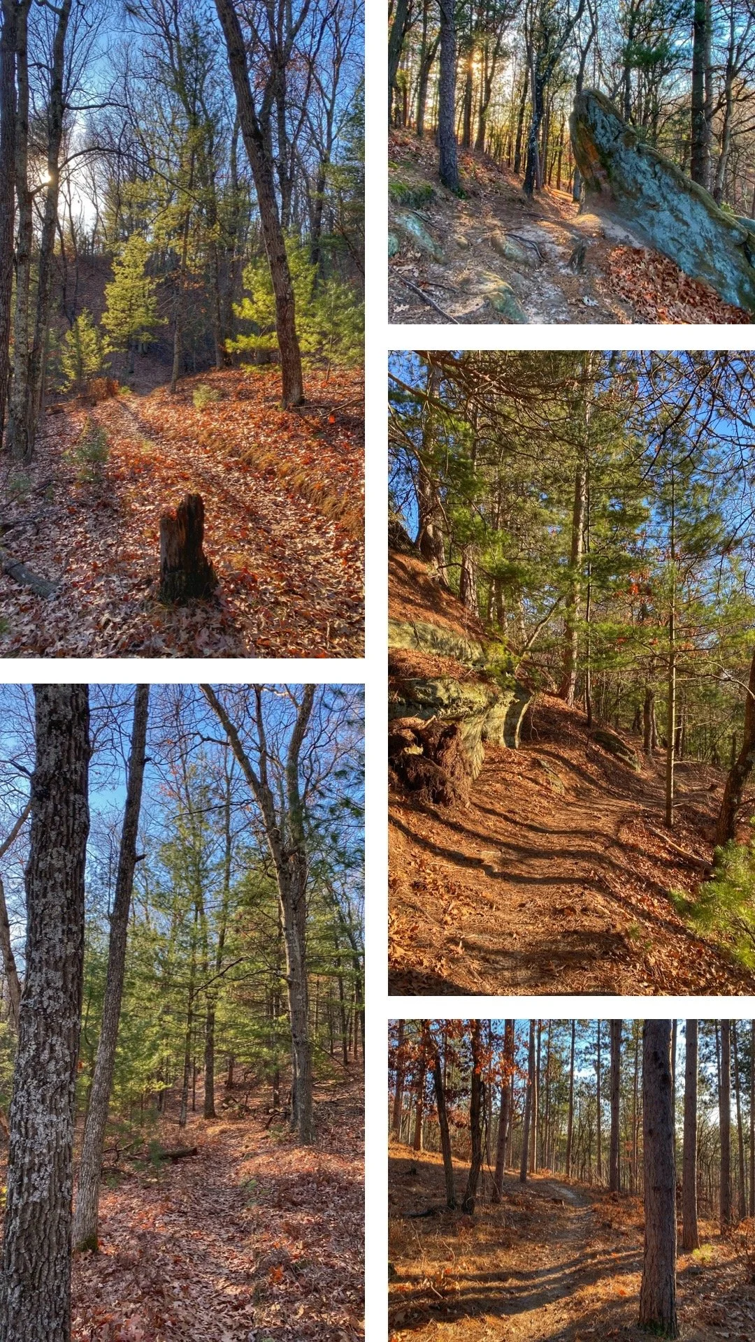
The Hermosa Trails!
After finishing the Yellow Jacket Trail, you can start heading back towards the parking lot by Fisher Avenue using the Upper Hermosa, the Hermosa and the Lower Hermosa Trails.
The Upper Hermosa might be my favorite at Levis Mound with its gorgeous rock formations; the Hermosa has some really fun switchbacks to explore going downhill, and other features for bikers like bridges and ramps.
These three trails will lead you back to where you can catch up the Lower Glen back to the trail center, or you can use a different way back, there are several options from there.

One of the many features you can find for bikes on the bike trails throughout the system.
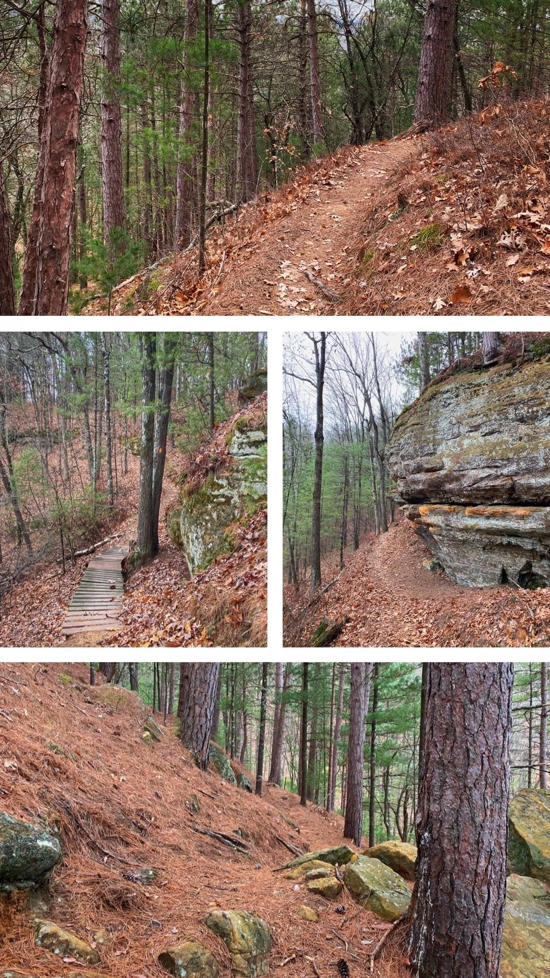
Porky Point Trail
You can find signage from the trail center that indicates “To Porky Point”, such as the Dump Trail, or you can briefly use the Pine Run ski trail to get to the beginning of Porky Point, which winds its way up to a rocky formation you can climb.
This is marked as an Advanced Trail, and if you’re on a bike, be aware that is it a one-way trail.
This trail is definitely technical, with more rocks and roots that the previous trails mentioned here, but also some rock slabs to contend with. Beware if it’s a wet day, as it becomes slippery.
The top is worth it though! The trail itself doesn’t go all the way to the top, but there are a few side trails that you can take, and then climb on top of the rock formation to summit porky Point. This is a short but rewarding trail!

Admiring the view from the top of Porky Point.
North Face Trail
After having come down from Porky Point, use the North Face Trail to gain some more elevation. This is an easier trail, going up without very steep sections, although there are still roots across the trail to contend with.
This short trail, entirely in the woods doesn’t have particularly beautiful views, but is very pleasant, especially the segment in the pine trees. On this trail, you get a better feel for the topography of Levis Mound, with rock formations on the side of the slope, and the moraines on the other side.

Clarence Trail
For the views, the Clarence Trail was my favorite trail on this loop!
On a plateau, this trail has several spurs leading to viewpoints, with great views of the surrounding woods. You can see really far from up there!
This trail is easy with no elevation change and only a few roots across the trail. The viewpoints are all rocky outcrops, and on some you can go up or down some of it in order to get a better view.
This is another short trail that is rewarding, and from there you can easily access South Point for some more views!
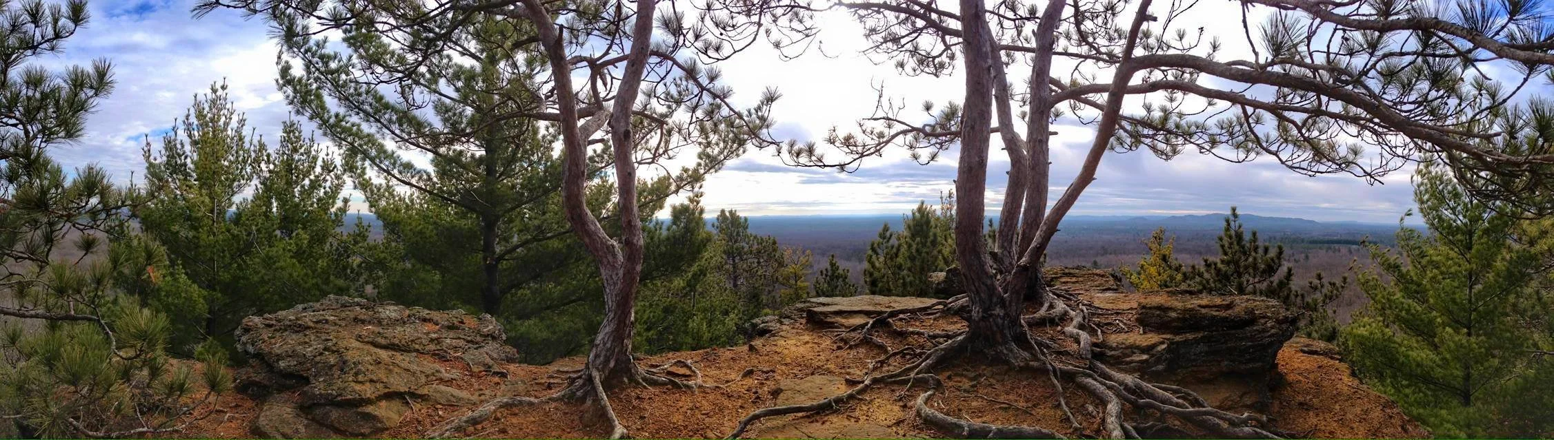
One of the viewpoints on the Clarence Trail.

South Point Trail
The South Point trail is a short out and back leading to a viewpoint (pictured here). It is accessible from the intersection of the Clarence Trail with Cliffhanger Trail.
It is another no elevation trail going through the woods to give you two scenic points of interest, one looking southeast like the ones on Clarence Trail, and another looking northeast (maybe the only one looking that way here at Levis Mound).
If you’re running short on time on your hike, or starting to get tired and would rather skip some of the viewpoints, I’d suggest skipping this one, the Clarence Trail has prettier viewpoints I think.
Cliffhanger Trail
For the trail running experience, the Cliffhanger Trail was my favorite on this loop!
It is labeled an Advanced Trail for bikes, and its name really fits well: at the beginning you really are going down on the edge of the slope! And sometimes the trail is really narrow! It does eventually go into a flatter area where you aren’t on the edge anymore. Mostly, it flows very well.
This trail brings you down from the top where you had all the views, and you can connect it with the Snodgrass Trail (single Track) or with the East Levis Trail (wide ski trail) to get back to the trail center.
Have you been to Levis Mound, and explored these trails… or others? If so, which one was your favorite? Let me know in the comments below!