My TOP 5 Ice Age Trail Segments
The Ice Age Trail, a trail that follows the southern limit of last Ice Age in Wisconsin, and spans about 1,200 miles across the state, from Door County going South, through the famous Devils’ Lake State Park, going north through the central part of the state and then heading west to meet with the border with Minnesota. As you can imagine, it is quite varied: it goes through forests, fields, hills and plains, some of it is connecting roads, and it even goes through some towns, some of them labeled Ice Age Trail Community towns. It is entirely maintained by volunteers! To learn more about the trail in general, check out the Ice Age Trail Alliance page here: IATA !
In my 19 years of life in Wisconsin, I explore 65 different segments, a little over 300 miles of it. I have backpacked it, run it, hiked it, and thoroughly loved it! I even wrote a piece about how the Covid 19 epidemic changed my relationship with the trail for Hello Stranger’s travel blog, which you can find here.
I also started making videos of my exploration, and I have 32 segments in video format, to share with aspiring hikers who would want to see what it looks like before putting on their hiking boots.
I will share here my top 5 segments… and let me tell you, it was hard to choose!
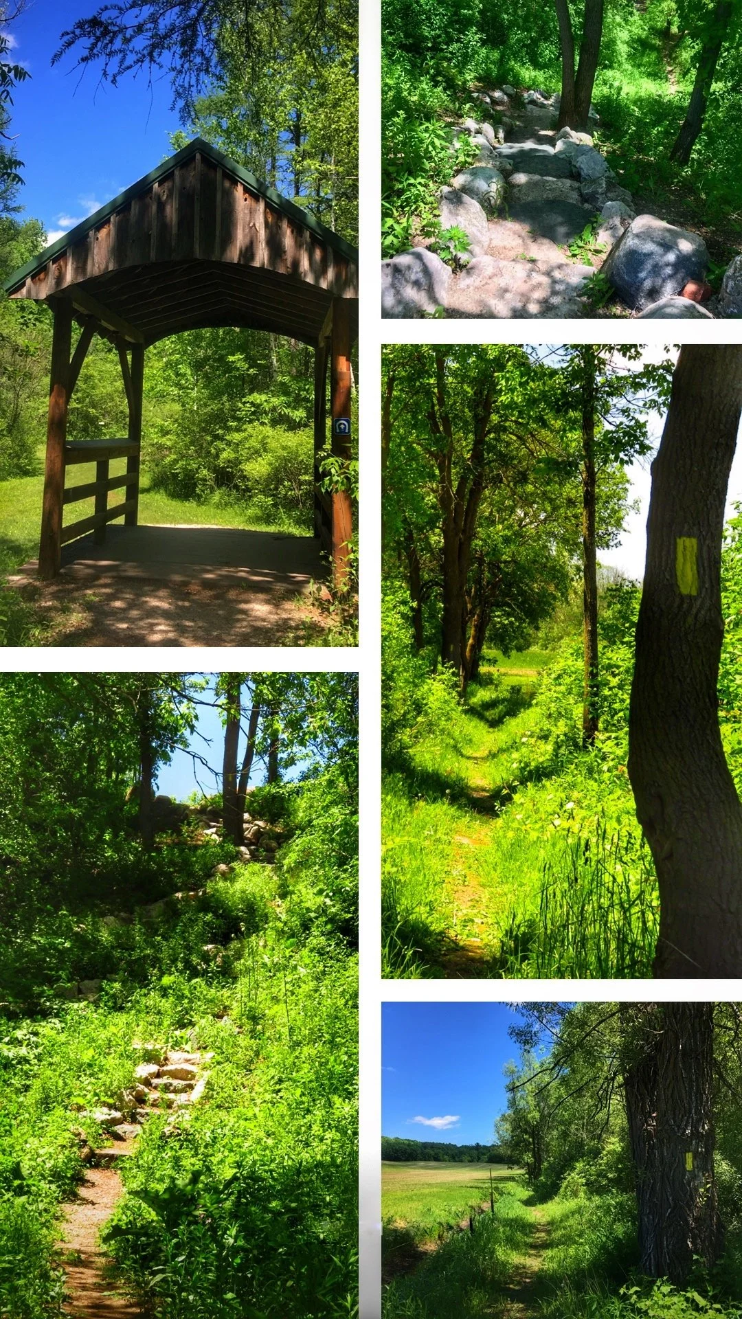
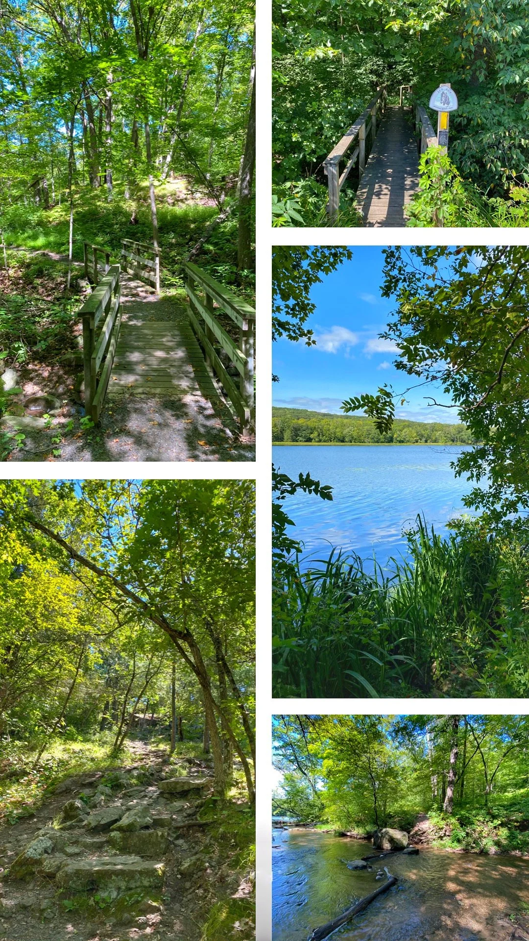
#5. Walla Hi (2.3 miles)
Such a lovely segment, I really wish it were longer.
It mostly goes through a forest, on a nice mostly smooth trail. There are a couple of bridges, and you can see frogs! It rolls really well, going up and down all the time, and there is one (beautiful!) rock staircase.
It sometimes intersects with other trails (including a horse trail) but is very easy to follow. I explored it in June and it was really lush!
To see the video of this segment, click here!
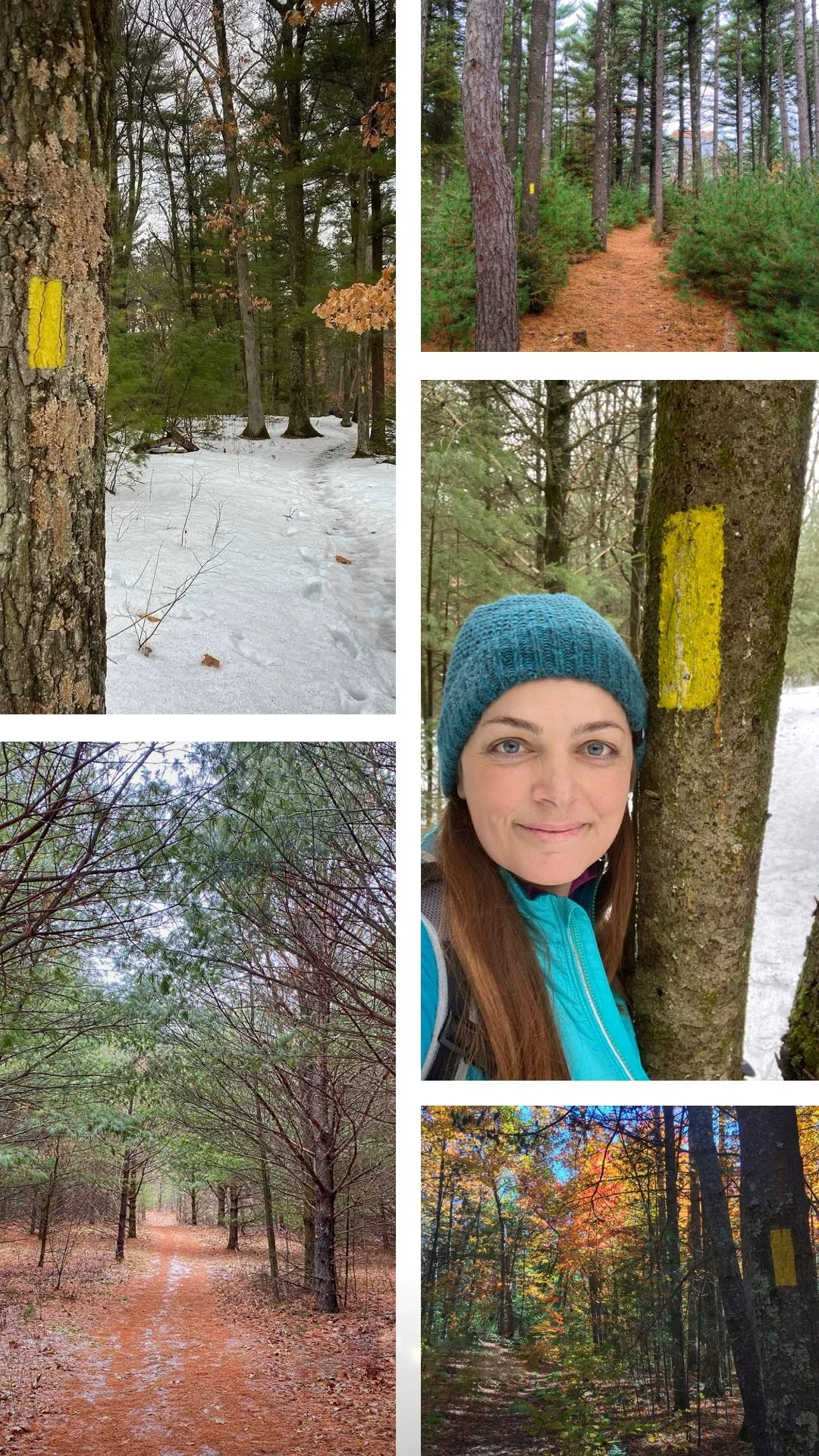
#4. Hartman Creek (5.3 miles)
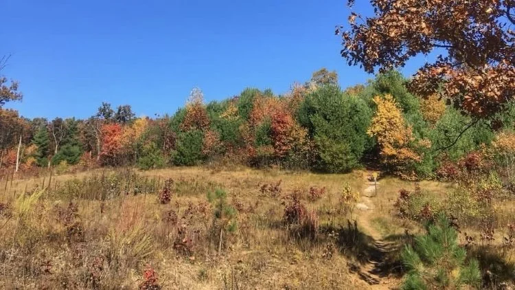
My favorite thing about this segment is the pine needles. I love walking and running on pine needles! This State Park is fairly popular, so you’ll likely meet other people on the trail or the parking lot (there are many other trails, including bike trails, in this park). I’ve explored it in all seasons, and it’s beautiful in all of them! Fall colors really pop there, and if you go in the Fall, make sure to explore the rest of the State Park too as it is beautiful by the lakes also. There is a campground in the State Park.
Another thing I like is that you can park in several places in your are doing out and back and can’t do the whole segment at once. It connects directly to the Emmons Creek segment in the South.
To see what it looks like in March with snow, click here!
To see what it looks like in December, without any snow, click here!
Where the Hartman Creek segment ends, and the Emmons Creek segment begins!

West Bend (6.7 miles)
Full of rolling hills, the West Bend segment mostly goes through forests, and includes some sections shared with bicycles. It also goes through a park, and has a few road crossings, even some road walking within the segment.
It’s beautiful especially when it goes by the water (Silver Creek and Lucas Lake). There are several places where you can park and do out and backs if can’t do the whole thing in one go.
To see a video of my hike of the West Bend segment (right along with the Kewaskum segment) click here!
Silver Creek, along the West Bend segment.
St Croix Falls (9 miles)
Located in Interstate State Park, on the border with Minnesota, the St Croix Falls segment is the beginning of the Ice Age Trail on the western end, with a plaque and a gorgeous view of the St Croix River! It leaves the park to continue north towards the town of St Croix Falls (an IAT Community!), before crossing Riegel Park and Ray Zillmer Park, then heading back towards the river, which it follows north until River Road and the end of the segment.
It's a good mix of rocky terrain, roads or sidewalks, smooth trail and small water crossings (depending on the season). If you go explore this segment, I would highly recommend making a weekend out of it to explore the rest of Interstate State Park and maybe even kayak the St Croix river!
To see a video of my hike of the St Croix Fall segment, click here!
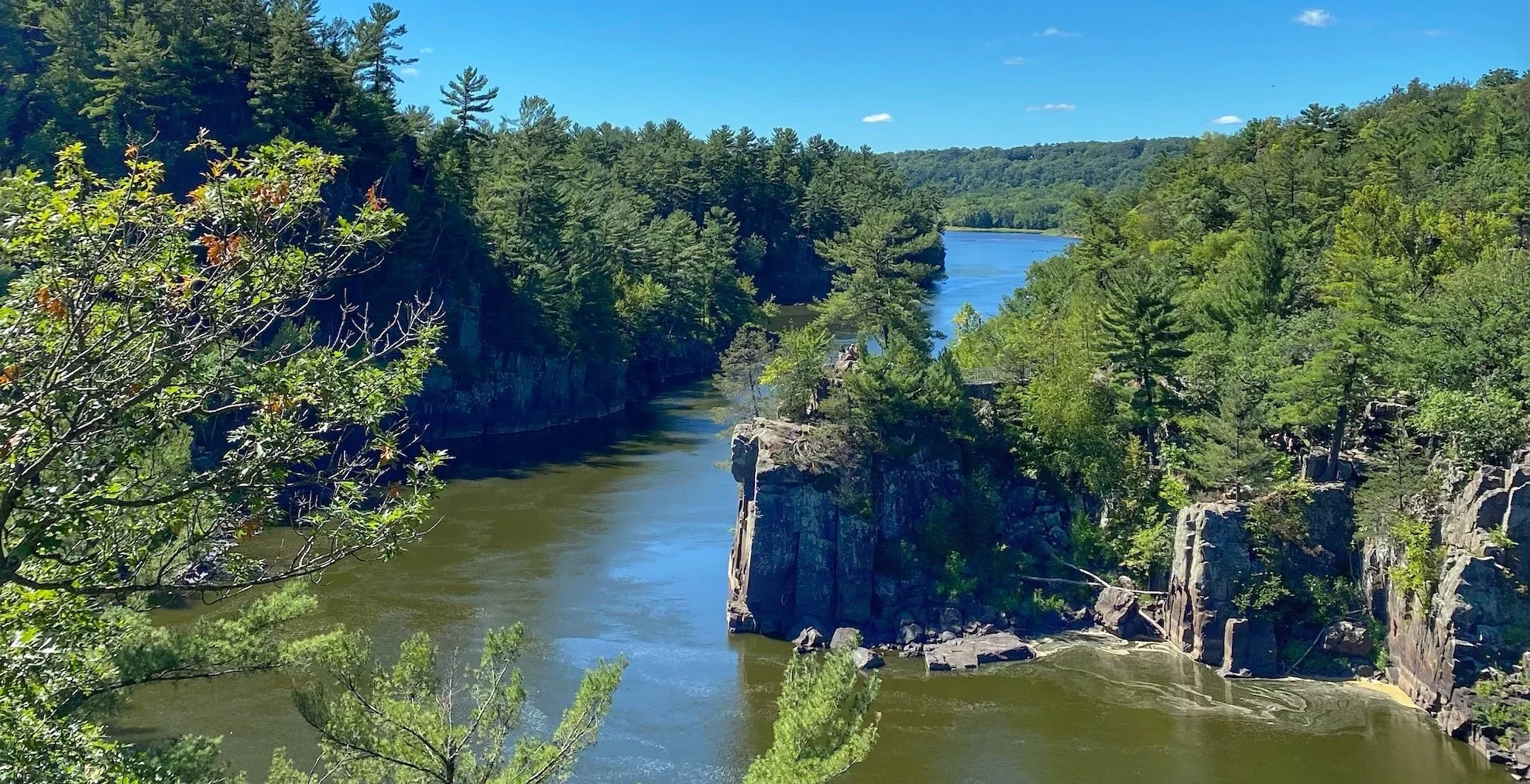
View of the St Croix river from the Western Terminus of the Ice Age Trail.
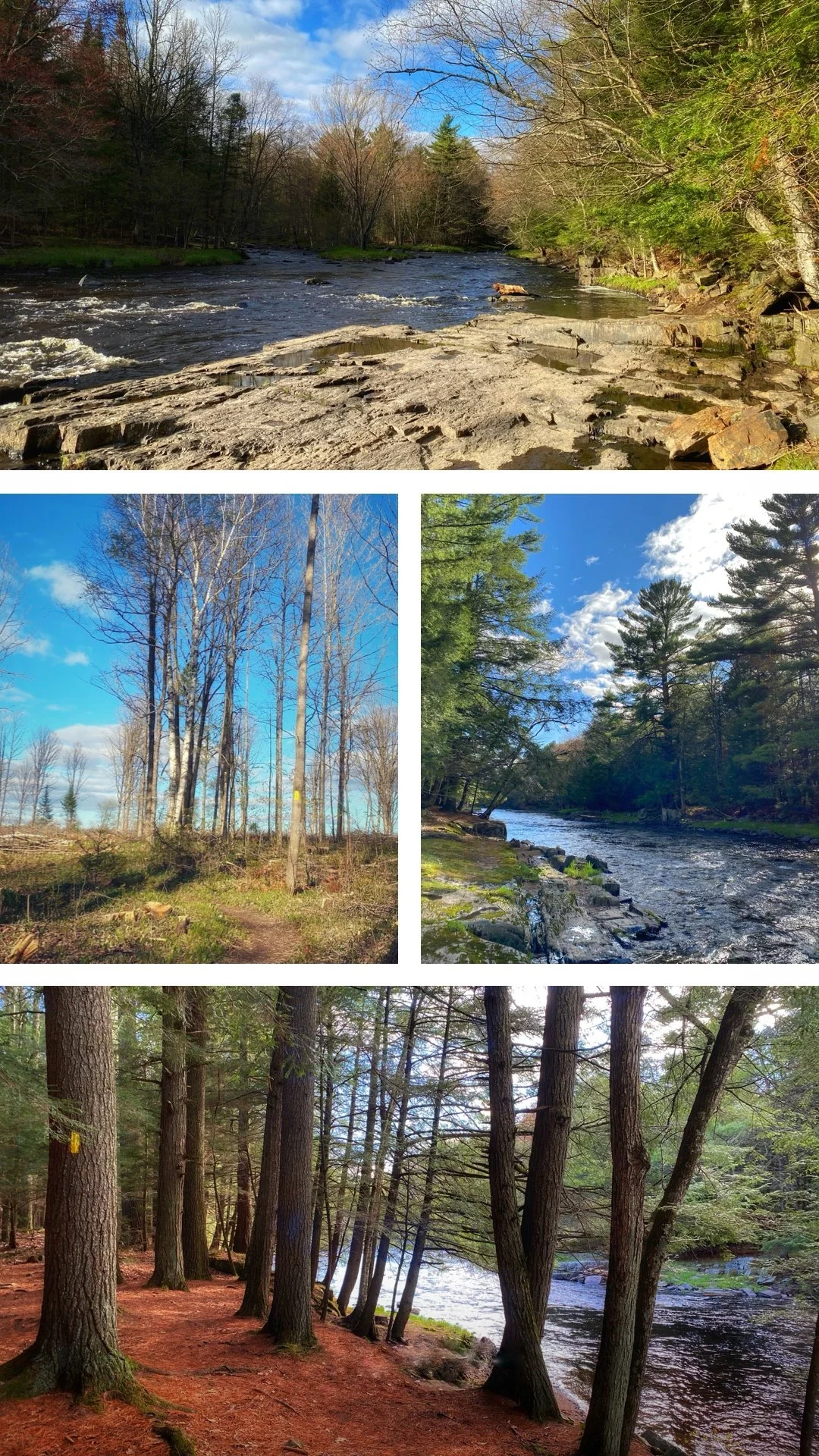
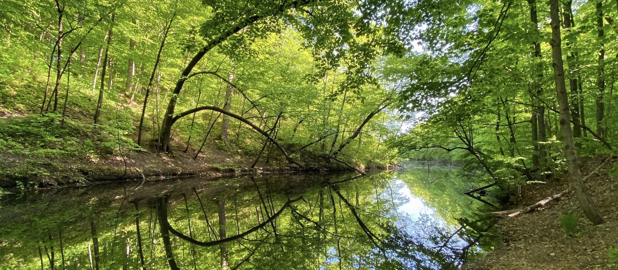
#1 Dells of Eau Claire (2.6 miles)
My all-time favorite segment, such beauty and variety in only 2.6 miles. Located in Central Wisconsin, near the IAT Community of Wausau, this segment follows the gorgeous Eau Claire river for the majority of it. At the beginning and the end, it connects by trail to roads.
You get to explore both banks of the river, and cross it twice. It’s a mix of rocky terrain, grass and smooth trail through a pine forest. The dells create spectacular rapids and rock formations. Just beautiful!
To see a video of my hike of the Dells of Eau Claire segment, click here!
Have you hiked some of these segments? What are YOUR top 5 segments? Let me know in the comment section below!